TGLO CMP-27: Lower Laguna Madre
Cameron and Willacy Counties, Texas
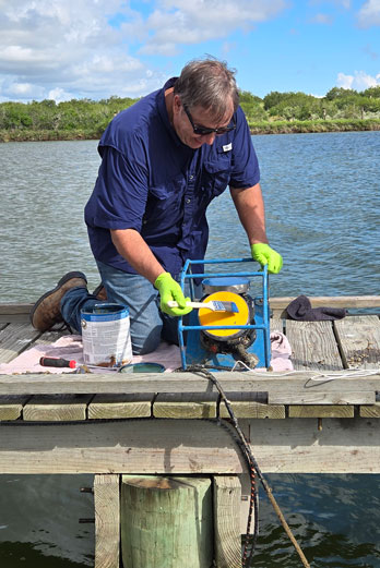
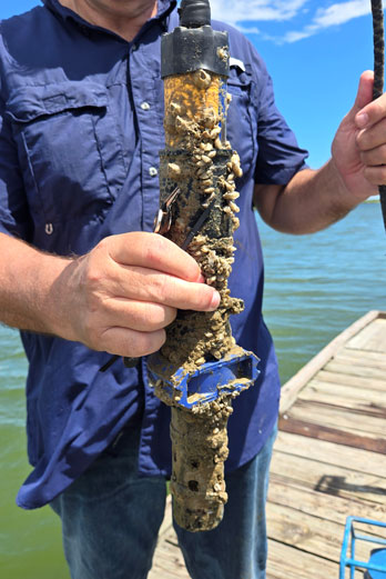
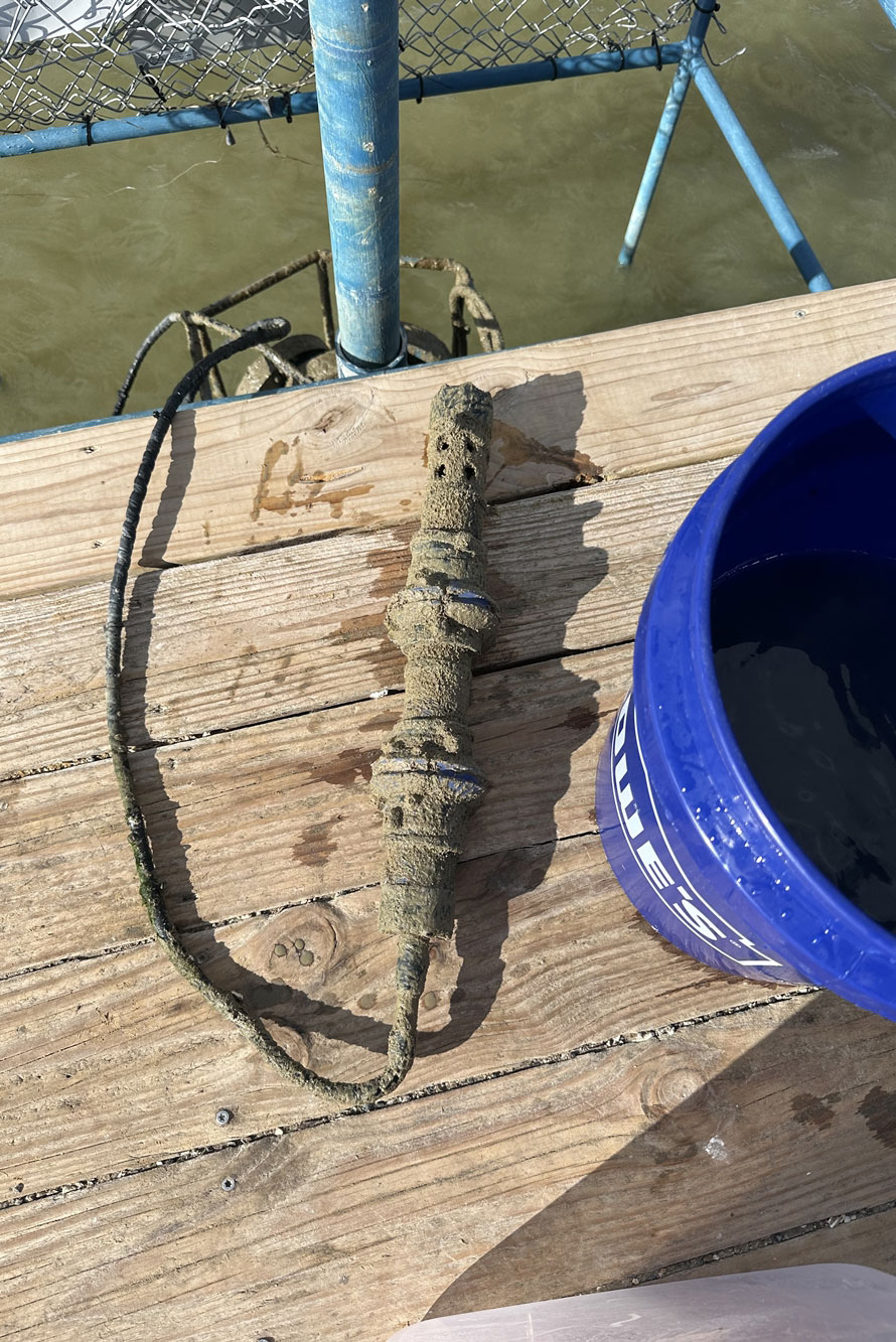
2020 Texas Integrated Report Identifies Lower Laguna Madre as impaired due to NPS pollutant loads. Coastal currents affect the distribution and magnitude of storm surges and compound flooding. Two models are being developed by TWDB and USACE. TWDB is developing a SCISM Hydrodynamic model, while USACE is developing a coast wide storm surge model. RATES’s RTH Station will aid in data collection and address data gaps in these on-going initiatives. RATES will provide Continuous monitoring of hydrodynamics and water quality (CTD) and Quarterly Monitoring- Research Vessel Surveys that will take Hydrodynamic measurements (ADCP) and CTD cast (characterize water column structures/ hydrodynamic). This data will be applied in hydrodynamic modeling by multiple agencies.
- TWDB (freshwater inflows/ oil spill trajectory)
- TGLO (oil spill trajectory)
- USACE (storm surge forecasting)
- TCEQ (NPS pollutant transport and fate modeling)
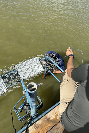
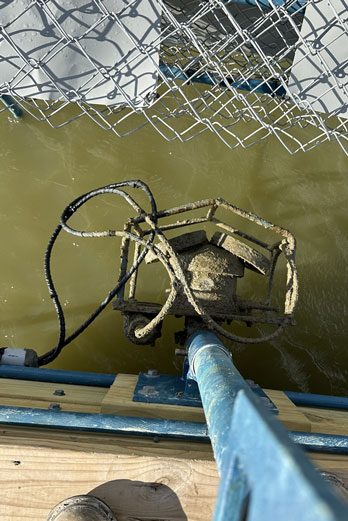
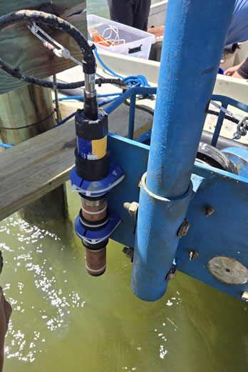
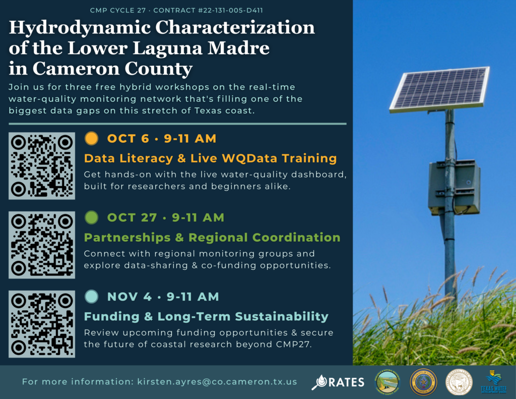
Join us for three free hybrid workshops on the real-time water quality monitoring network that is filling one of the biggest data gaps on this stretch of the Texas coast!
Learn to use the live data yourslf, connect with the groups already monitoring this region, and help secure the network’s future beyond CMP27.
Tuesday, Oct 6 | 9-11 AM CT | Data Literacy & Live WQData Training
Tuesday, Oct 27 | 9-11 AM CT | Partnership & Regional Coordination
Wednesday, Nov 4 | 9-11 AM CT | Funding & Long-Term Sustainability
Scan the QR Codes or click on the links for the individual workshop details and registration pages.
In-Person location: South Texas Ecotourism Center, 409 State Highway 10, Laguna Vista, TX
Virtual: Webinar link sent after sign-up.
Free and open to the public – no science background needed. For more information please contact: kirsten.ayres@co.cameron.tx.us