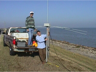
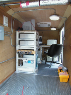
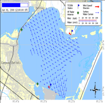
RATES’ inventory includes short-, medium-, and long-range HF-Radar (CODAR). With Texas General Land Office (GLO) funding, RATES personnel commissioned and operated the first HF-Radar Network on the Texas Gulf Coast, from Corpus Christi to Roll Over Pass, primarily to support GLO spill response initiatives. Data from these stations and their successors are publically available via the NOAA National Data Buoy Center (https://hfradar.ndbc.noaa.gov/) to support vessel navigation, spill response, and search and rescue operations.